Geotechnical Assessment
---on behalf of many contractors---
Far too often, during geotechnical exploration the need for "more information", more borings,
more tests, more investigation is a common refrain. In one case, we provided anticipated
rock intact and mass properties, excavation rates, and potential hazards, based on simple
classical geotechnical thinking, whereas
the hazards were not uncovered by the sophisticated investigation.
Physiography and Geomorphology
The anticipated ground conditions in the Oso Tunnel in Colorado were explored by borings and geophysical investigations.
None of the physical (borings) or geophysical exploration revealed the presence of
adverse conditions.
Simple observation of the terrain, topographic maps, landforms, and arial photography were neglected.
A simple examination of topographic maps and arial photos revealed many landslides, one major one crossing the tunnel
alignment and comprising the first 400m of tunnel.
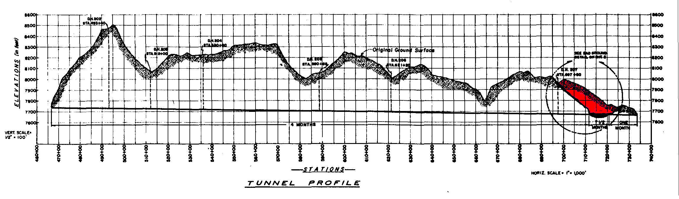
Construction Performance
Tunnel boring excavation was normal for the first 400m. Suddenly,
the tunnel penetrated unconsolidated material with a high water inflow.
After the tunnel collapse, drill holes from the surface and ahead of the face
revealed:
1. the 400m excavated portion of the tunnel was a landslide block (see profile
below),
2. the 230m of unconsolidated material ahead of the face was the failure surface
below the landslide block (see profile below),
3. the 230m of fault zone was excavated by hand in 7 months,
4. the remaining 6km also took 7 months by TBM.
A simple examination of the landforms on topographic maps or arial photos would
have revealed the landslide block and fault zone.
Landforms
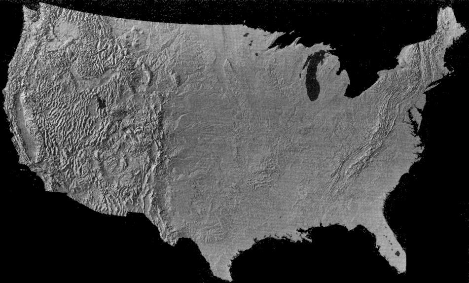
Landforms convey the underlying materials, major rock mass characteristics, and major features.
Lithology
/ Karst Features
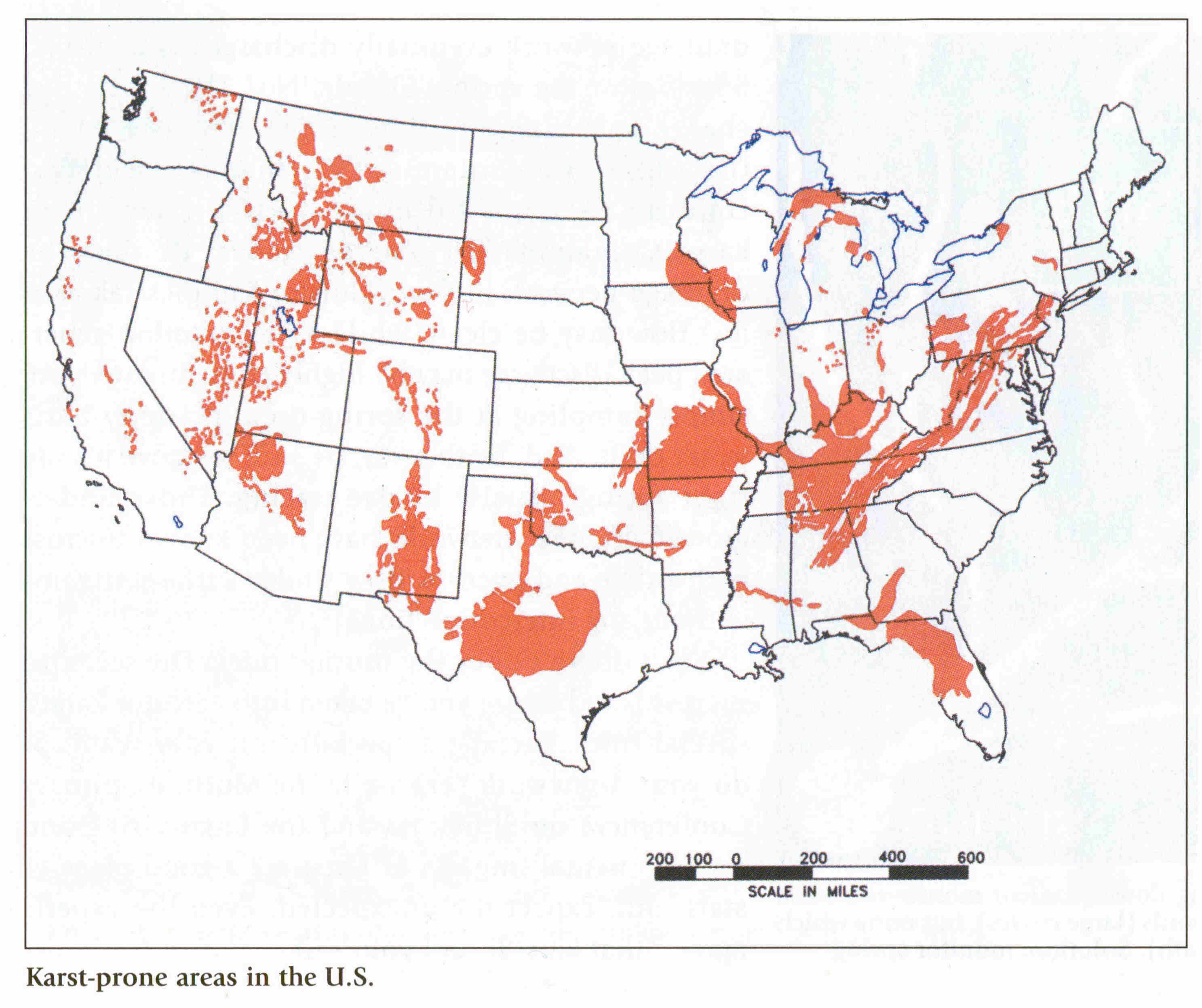
Lithology conveys associated landforms underlying materials, major rock mass
character, and major features relevant to underground construction.
Geological & Physiographic Provinces
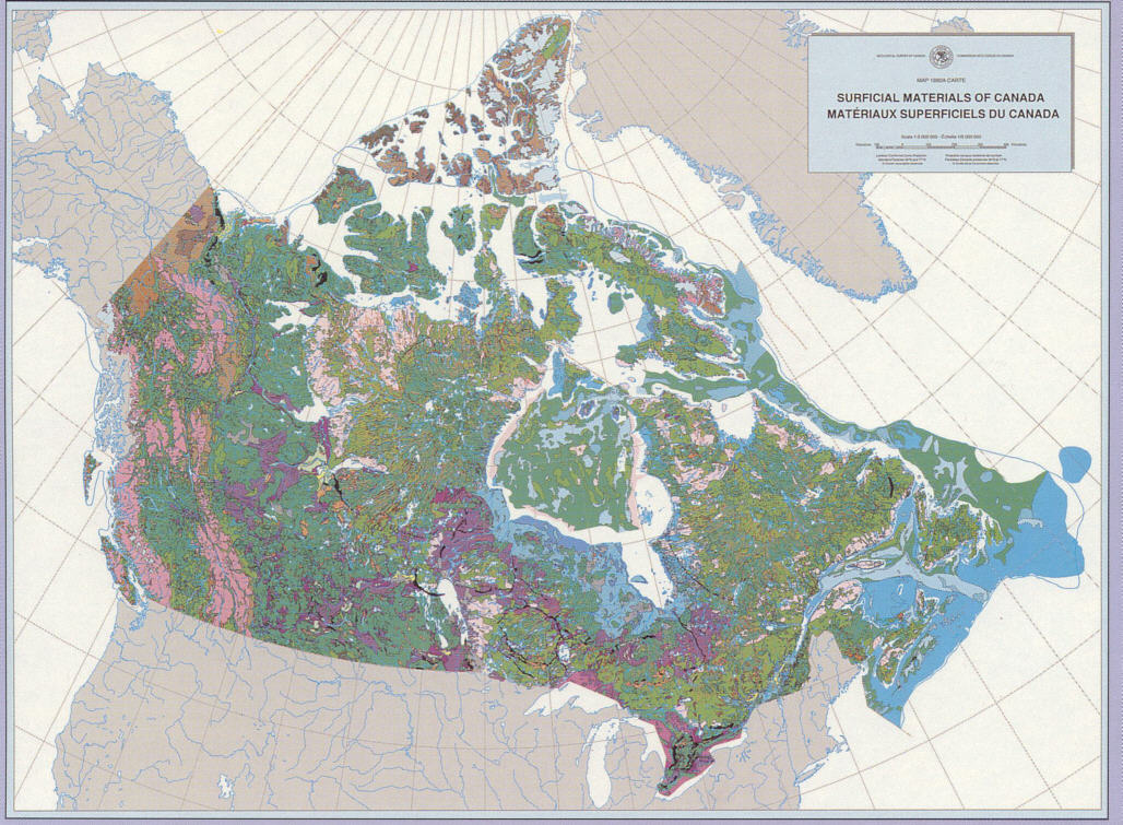
Regional Geology conveys the genesis, rock types, and rock mass characteristics of the land.
|
 GeoConSol